Geolocate

Morrelganj topographic map

Click on the map to display elevation.

About this map

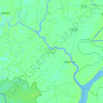
Name: Morrelganj topographic map, elevation, terrain.

Location: Morrelganj, Bagerhat, Khulna Division, Bangladesh (22.34390 89.69815 22.61635 89.96512)

Average elevation: 3 m

Minimum elevation: -4 m

Maximum elevation: 11 m

Gear up for your next adventure:

🎿Telescopic Trekking Poles - Reduces knee strain on steep topographic descents
🛰️Handheld GPS Devices - Reliable GPS units for hiking and outdoor navigation
🦯Walking Poles - Supportive poles for long-distance walking
🧭Professional Hiking Compasses - High-precision liquid-filled compasses for map reading and orientation
🌄Compact Monoculars - Lightweight optics for hiking

As an Amazon Associate, this site earns from qualifying purchases at no extra cost to you.