
Bordes d'Engolasters topographic map
Interactive map
Click on the map to display elevation.
About this map
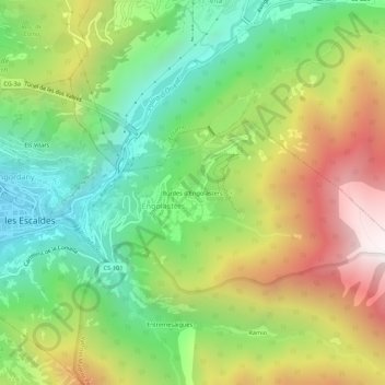
Name: Bordes d'Engolasters topographic map, elevation, terrain.
Average elevation: 1,635 m
Minimum elevation: 1,032 m
Maximum elevation: 2,497 m
Other topographic maps
Click on a map to view its topography, its elevation and its terrain.
Engolasters
Engolasters, Escaldes-Engordany, AD700, Andorre
Average elevation: 1,592 m