
Núcleo Habitacional 1 - Área F topographic map
Interactive map
Click on the map to display elevation.
About this map
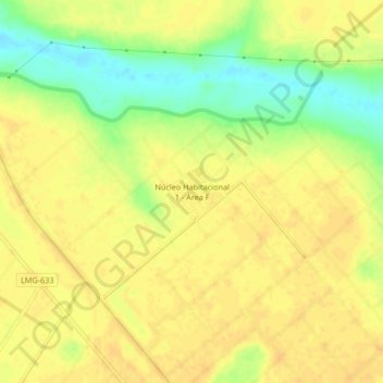
Name: Núcleo Habitacional 1 - Área F topographic map, elevation, terrain.
Average elevation: 468 m
Minimum elevation: 448 m
Maximum elevation: 476 m