Geolocate

Lafourche topographic map

Click on the map to display elevation.

About this map

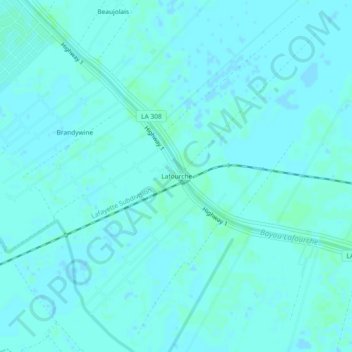
Name: Lafourche topographic map, elevation, terrain.

Location: Lafourche, Lafourche Parish, Louisiana, 70310, United States (29.74715 -90.78592 29.78715 -90.74592)

Average elevation: 3 m

Minimum elevation: 1 m

Maximum elevation: 6 m

Other topographic maps

Click on a map to view its topography, its elevation and its terrain.

Raceland

United States > Louisiana > Lafourche Parish

Average elevation: 2 m

Gear up for your next adventure:

🧥Packable Down Jackets - Lightweight warmth that compresses small in your bag
🧺Mesh Stuff Sacks - Breathable storage for wet gear or camp organization
🧣Neck Gaiters - Protects against wind and sun on exposed ridges and peaks
🧴Sport Sunscreen Sticks - High-protection sunblock that won't run into your eyes on the trail
🚶Walking Pedometers - Simple distance tracking for casual trail walkers

As an Amazon Associate, this site earns from qualifying purchases at no extra cost to you.