Geolocate

Thibodaux topographic map

Click on the map to display elevation.

About this map

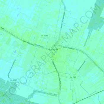
Name: Thibodaux topographic map, elevation, terrain.

Location: Thibodaux, Lafourche Parish, Louisiana, United States (29.75141 -90.84818 29.83586 -90.79657)

Average elevation: 3 m

Minimum elevation: -1 m

Maximum elevation: 6 m

Other topographic maps

Click on a map to view its topography, its elevation and its terrain.

Gear up for your next adventure:

Insulated Travel Mugs - Keep drinks hot while surveying the landscape from a summit
👟Heavy Duty Boot Laces - Always carry a spare for your hiking footwear
🥤Collapsible Water Bottles - Save space in your rucksack as you consume your water
🥤Hydration Bladders - Hands-free hydration systems for backpacks
Lightweight Tents - Compact tents for backpacking and trekking

As an Amazon Associate, this site earns from qualifying purchases at no extra cost to you.