
La Huaca topographic map
Interactive map
Click on the map to display elevation.
About this map
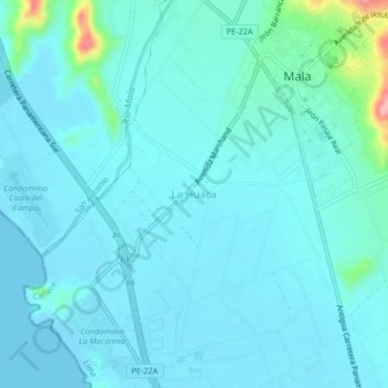
Name: La Huaca topographic map, elevation, terrain.
Location: La Huaca, Cañete, Lima, Perú (-12.68991 -76.66321 -12.64991 -76.62321)
Average elevation: 18 m
Minimum elevation: -2 m
Maximum elevation: 153 m