
Columbo topographic map
Interactive map
Click on the map to display elevation.
About this map
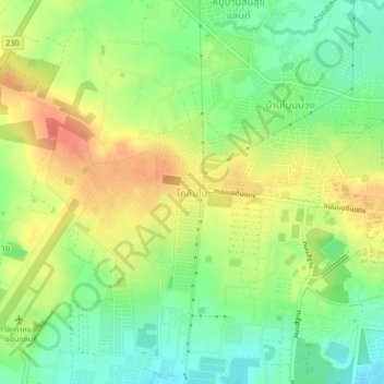
Name: Columbo topographic map, elevation, terrain.
Location: Columbo, Samran, Khon Kaen Province, 40002, Thailand (16.45909 102.78389 16.49909 102.82389)
Average elevation: 190 m
Minimum elevation: 164 m
Maximum elevation: 218 m
Other topographic maps
Click on a map to view its topography, its elevation and its terrain.