
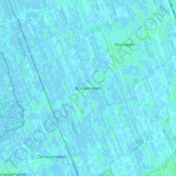
Kolderveen topographic map
Interactive map
Click on the map to display elevation.
About this map
Name: Kolderveen topographic map, elevation, terrain.
Location: Kolderveen, Drente, Niederlande, 7948, Niederlande (52.70353 6.13476 52.74353 6.17476)
Average elevation: 1 m
Minimum elevation: -3 m
Maximum elevation: 4 m