
Khafung topographic map
Interactive map
Click on the map to display elevation.
About this map
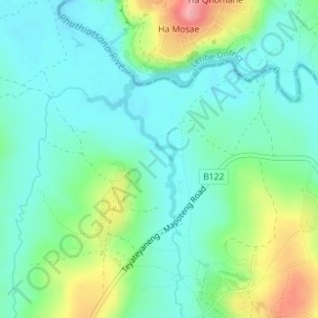
Name: Khafung topographic map, elevation, terrain.
Location: Khafung, Distrikt Berea, Lesotho (-29.08560 27.85859 -29.07549 27.86357)
Average elevation: 1,570 m
Minimum elevation: 1,539 m
Maximum elevation: 1,647 m
Other topographic maps
Click on a map to view its topography, its elevation and its terrain.