
Edsel topographic map
Interactive map
Click on the map to display elevation.
About this map
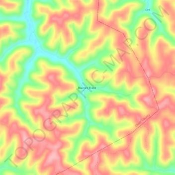
Name: Edsel topographic map, elevation, terrain.
Location: Edsel, Elliott County, Kentucky, United States (38.09786 -82.92933 38.13786 -82.88933)
Average elevation: 277 m
Minimum elevation: 201 m
Maximum elevation: 329 m
Other topographic maps
Click on a map to view its topography, its elevation and its terrain.