
Miyaneh topographic map
Interactive map
Click on the map to display elevation.
About this map
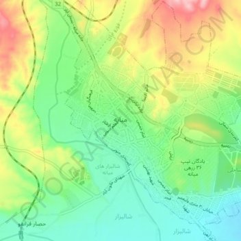
Name: Miyaneh topographic map, elevation, terrain.
Location: Miyaneh, دهستان قافلانکوه غربی, بخش مرکزی, Mianeh County, Iran (37.39751 47.68762 37.45842 47.75179)
Average elevation: 1,118 m
Minimum elevation: 1,056 m
Maximum elevation: 1,227 m
Other topographic maps
Click on a map to view its topography, its elevation and its terrain.