
La Caracola topographic map
Interactive map
Click on the map to display elevation.
About this map
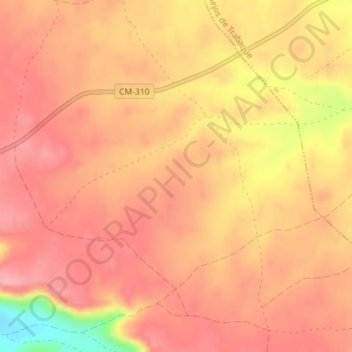
Name: La Caracola topographic map, elevation, terrain.
Location: La Caracola, Cañaveras, Cuenca, Kastilien-La Mancha, Spanien (40.36829 -2.37621 40.38829 -2.35621)
Average elevation: 916 m
Minimum elevation: 831 m
Maximum elevation: 946 m