
Wellsville topographic map
Interactive map
Click on the map to display elevation.
About this map
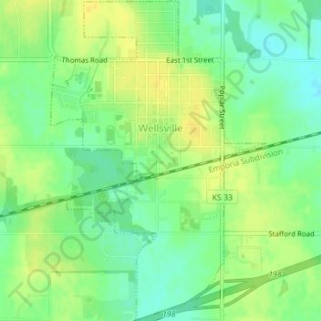
Name: Wellsville topographic map, elevation, terrain.
Location: Wellsville, Franklin County, Kansas, United States (38.70216 -95.09345 38.72901 -95.07026)
Average elevation: 317 m
Minimum elevation: 304 m
Maximum elevation: 327 m
Other topographic maps
Click on a map to view its topography, its elevation and its terrain.