
Pal topographic map
Interactive map
Click on the map to display elevation.
Pal
It is situated at an altitude of 1,551 m (5,089 ft). The village church, of the 11th century and in Romanesque style, is dedicated to St. Clement. It has a rectangular bell tower with mullioned windows decorated. Above the town, in the forest of Pal, in 1982 was inaugurated the ski resort of Pal, now grouped with the Arinsal ski area forming the Vallnord.
About this map
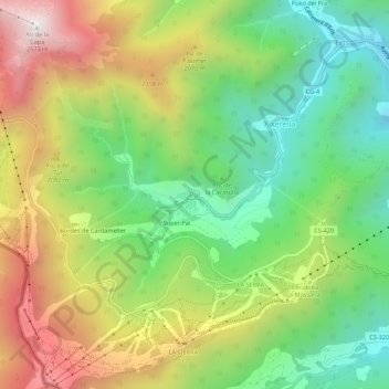
Name: Pal topographic map, elevation, terrain.
Location: Pal, La Massana, AD400, Andorra (42.52580 1.45598 42.56580 1.49598)
Average elevation: 1,830 m
Minimum elevation: 1,311 m
Maximum elevation: 2,553 m