
Marle topographic map
Interactive map
Click on the map to display elevation.
About this map
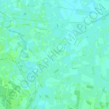
Name: Marle topographic map, elevation, terrain.
Location: Marle, Hellendoorn, Overijssel, Nederland, 7447 SH, Nederland (52.40242 6.46263 52.44242 6.50263)
Average elevation: 8 m
Minimum elevation: 5 m
Maximum elevation: 15 m
Other topographic maps
Click on a map to view its topography, its elevation and its terrain.
Hellendoorn
Nederland > Overijssel > Hellendoorn
Hellendoorn, Overijssel, Nederland
Average elevation: 10 m