Geolocate

Kerisa topographic map

Click on the map to display elevation.

About this map

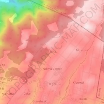
Name: Kerisa topographic map, elevation, terrain.

Location: Kerisa, Nyota ward, Kuresoi North, Nakuru, Rift Valley, Kenya (-0.30738 35.53283 -0.26738 35.57283)

Average elevation: 2,626 m

Minimum elevation: 2,293 m

Maximum elevation: 2,729 m

Gear up for your next adventure:

🛰️Outdoor GPS Navigation - Navigation devices for remote and off-grid areas
🧤Hiking Gloves - Warm and durable gloves for cold-weather walks
🥾Hiking Boot Waterproofing Wax - Maintain the lifespan of your leather trekking boots
🎒Hiking Child Carriers - Explore the outdoors with the whole family safely
📦Dry Bags - Waterproof bags to protect gear from rain

As an Amazon Associate, this site earns from qualifying purchases at no extra cost to you.