
مزارع عاره topographic map
Interactive map
Click on the map to display elevation.
About this map
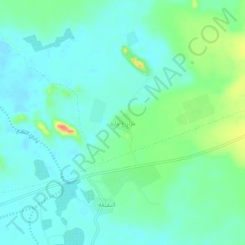
Name: مزارع عاره topographic map, elevation, terrain.
Location: مزارع عاره, Wadi Al Fara, Medina Province, Saudi Arabia (23.87427 39.73290 23.91427 39.77290)
Average elevation: 862 m
Minimum elevation: 846 m
Maximum elevation: 913 m
Other topographic maps
Click on a map to view its topography, its elevation and its terrain.