
子洪水库 topographic map
Interactive map
Click on the map to display elevation.
About this map
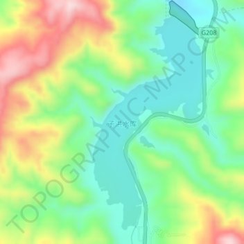
Name: 子洪水库 topographic map, elevation, terrain.
Location: 子洪水库, 祁县, 晋中市, 山西省, 中国 (37.25203 112.46516 37.27582 112.48105)
Average elevation: 962 m
Minimum elevation: 851 m
Maximum elevation: 1,149 m