
Thank you for supporting this site ❤️
Make a donation
Make a donation
Gear up for your next adventure:
As an Amazon Associate, this site earns from qualifying purchases at no extra cost to you.
Merek topographic map
Click on the map to display elevation.
Thank you for supporting this site ❤️
Make a donation
Make a donation
Gear up for your next adventure:
As an Amazon Associate, this site earns from qualifying purchases at no extra cost to you.
About this map
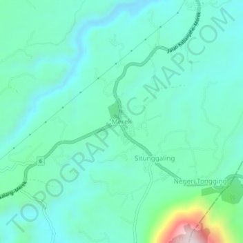
Name: Merek topographic map, elevation, terrain.
Location: Merek, Karo, North Sumatra, Sumatra, Indonesia (2.92658 98.50330 2.96658 98.54330)
Average elevation: 1,439 m
Minimum elevation: 1,326 m
Maximum elevation: 1,920 m
Thank you for supporting this site ❤️
Make a donation
Make a donation
Gear up for your next adventure:
As an Amazon Associate, this site earns from qualifying purchases at no extra cost to you.