
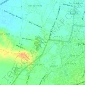
Denanyar topographic map
Interactive map
Click on the map to display elevation.
About this map
Name: Denanyar topographic map, elevation, terrain.
Location: Denanyar, Jombang, East Java, Java, 61416, Indonesia (-7.55780 112.19828 -7.51780 112.23828)
Average elevation: 41 m
Minimum elevation: 30 m
Maximum elevation: 63 m