
Kampung Sireh topographic map
Interactive map
Click on the map to display elevation.
About this map
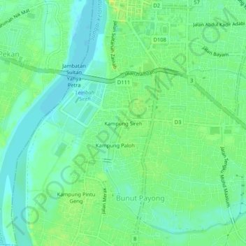
Name: Kampung Sireh topographic map, elevation, terrain.
Location: Kampung Sireh, Kota Bharu, Kelantan, 15050, Malaysia (6.08853 102.21671 6.12853 102.25671)
Average elevation: 9 m
Minimum elevation: 1 m
Maximum elevation: 18 m
Other topographic maps
Click on a map to view its topography, its elevation and its terrain.