
Sembir topographic map
Interactive map
Click on the map to display elevation.
About this map
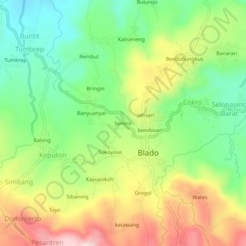
Name: Sembir topographic map, elevation, terrain.
Location: Sembir, Blado, Batang, Central Java, Java, Indonesia (-7.08616 109.80981 -7.04616 109.84981)
Average elevation: 529 m
Minimum elevation: 398 m
Maximum elevation: 708 m