Geolocate

Wilford topographic map

Interactive map

Click on the map to display elevation.

About this map

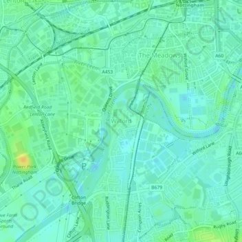
Name: Wilford topographic map, elevation, terrain.

Location: Wilford, Nottingham, England, United Kingdom (52.92974 -1.16037 52.93761 -1.15229)

Average elevation: 28 m

Minimum elevation: 20 m

Maximum elevation: 46 m

Routes: England GPS tracks, routes, trails, hikes

Other topographic maps

Click on a map to view its topography, its elevation and its terrain.

Wollaton Park

United Kingdom > England > Nottingham > Wollaton

Average elevation: 44 m

Arboretum

United Kingdom > England > Nottingham

Average elevation: 57 m

Bulwell

United Kingdom > England > Nottingham

Average elevation: 84 m

Highfields Park

United Kingdom > England > Nottingham

Average elevation: 35 m

Scaffell Way Park

United Kingdom > England > Nottingham

Average elevation: 43 m

Wollaton

United Kingdom > England > Nottingham

Average elevation: 58 m

Castle Marina

United Kingdom > England > Nottingham

Average elevation: 36 m

Brewhouse Yard

United Kingdom > England > Nottingham

Average elevation: 40 m

Berridge Ward

United Kingdom > England > Nottingham > Arnold

Average elevation: 56 m