
Lutjegast topographic map
Interactive map
Click on the map to display elevation.
About this map
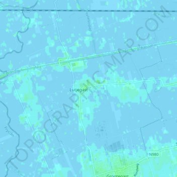
Name: Lutjegast topographic map, elevation, terrain.
Location: Lutjegast, Westerkwartier, Groningen, Netherlands (53.21418 6.21479 53.25595 6.29419)
Average elevation: 0 m
Minimum elevation: -3 m
Maximum elevation: 5 m
Other topographic maps
Click on a map to view its topography, its elevation and its terrain.