
Peros Banhos topographic map
Interactive map
Click on the map to display elevation.
About this map
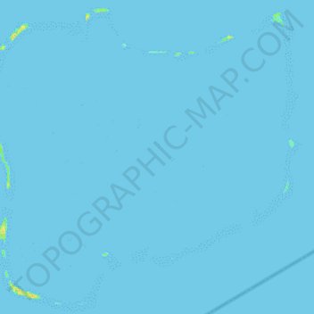
Name: Peros Banhos topographic map, elevation, terrain.
Location: Peros Banhos, British Indian Ocean Territory (-5.46348 71.73295 -5.23589 71.97503)
Average elevation: 0 m
Minimum elevation: -1 m
Maximum elevation: 18 m
Other topographic maps
Click on a map to view its topography, its elevation and its terrain.