
Gordhanpura topographic map
Interactive map
Click on the map to display elevation.
About this map
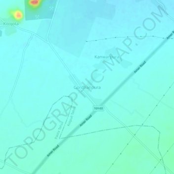
Name: Gordhanpura topographic map, elevation, terrain.
Location: Gordhanpura, Kotpuli Tehsil, Jaipur District, Rajasthan, India (27.63472 76.11540 27.67472 76.15540)
Average elevation: 374 m
Minimum elevation: 365 m
Maximum elevation: 439 m