Geolocate

Poe Paddy State Park topographic map

Interactive map

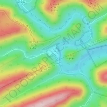
Click on the map to display elevation.

About this map

Name: Poe Paddy State Park topographic map, elevation, terrain.

Location: Poe Paddy State Park, Haines Township, Centre County, Pennsylvania, United States (40.83162 -77.42006 40.83612 -77.41569)

Average elevation: 390 m

Minimum elevation: 280 m

Maximum elevation: 572 m

Other topographic maps

Click on a map to view its topography, its elevation and its terrain.

State College

United States > Pennsylvania > Centre County

State College is situated at an elevation of approximately 1,200 feet (370 m) above sea level. According to the U.S. Census Bureau, the borough has a total area of 4.5 square miles (12 km2), all of it land. It is surrounded by large tracts of farmland, and an expanse of Appalachian Mountain ranges and forests.…

Average elevation: 351 m

Bald Eagle State Park

United States > Pennsylvania > Centre County

Foster Joseph Sayers Reservoir is a 1,730-acre (700 ha) reservoir that was built in 1971 by the U.S. Army Corps of Engineers as part of a flood control project on the Susquehanna River basin. The lake was created by damming Bald Eagle Creek. It stretches upstream for 8 miles (12.87 km) and has 23 miles (37.01…

Average elevation: 290 m

Snow Shoe

United States > Pennsylvania > Centre County

Average elevation: 511 m