Geolocate

Virginia City topographic map

Click on the map to display elevation.

About this map

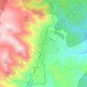
Name: Virginia City topographic map, elevation, terrain.

Location: Virginia City, Storey County, Nevada, 89440, United States (39.29081 -119.66952 39.33081 -119.62952)

Average elevation: 1,978 m

Minimum elevation: 1,653 m

Maximum elevation: 2,378 m

Gear up for your next adventure:

🧢Waterproof Hiking Hats - Keep the rain off your face while studying topographic maps
🔋Solar Power Banks - Keep your GPS and phone charged during multi-day expeditions
🧴Sport Sunscreen Sticks - High-protection sunblock that won't run into your eyes on the trail
📕Outdoor Navigation Books - Learn traditional and modern navigation techniques
👕Merino Base Layers - Natural temperature regulation for cold weather hiking and camping

As an Amazon Associate, this site earns from qualifying purchases at no extra cost to you.