
Zaferiye topographic map
Interactive map
Click on the map to display elevation.
About this map
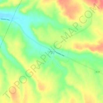
Name: Zaferiye topographic map, elevation, terrain.
Location: Zaferiye, Cihanbeyli, Kotajk, Zentralanatolien, 42855, Türkei (38.84722 32.38746 38.88722 32.42746)
Average elevation: 1,065 m
Minimum elevation: 1,034 m
Maximum elevation: 1,096 m