
Dorcas topographic map
Interactive map
Click on the map to display elevation.
About this map
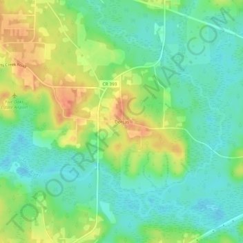
Name: Dorcas topographic map, elevation, terrain.
Location: Dorcas, Okaloosa County, Florida, United States of America (30.77824 -86.43578 30.81824 -86.39578)
Average elevation: 42 m
Minimum elevation: 23 m
Maximum elevation: 71 m