
Spa topographic map
Interactive map
Click on the map to display elevation.
About this map
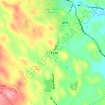
Name: Spa topographic map, elevation, terrain.
Location: Spa, County Down, Northern Ireland, BT24 8BB, United Kingdom (54.35552 -5.91893 54.39552 -5.87893)
Average elevation: 110 m
Minimum elevation: 53 m
Maximum elevation: 187 m