Geolocate

Gotha topographic map

Click on the map to display elevation.

About this map
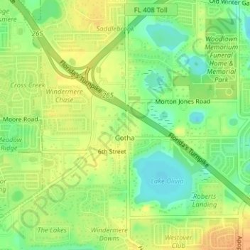
Name: Gotha topographic map, elevation, terrain.

Location: Gotha, Orange County, Florida, United States (28.51540 -81.53457 28.54294 -81.50838)

Average elevation: 39 m

Minimum elevation: 21 m

Maximum elevation: 52 m

Gear up for your next adventure:

🚲Cycling GPS Computers - Track elevation and topographic routes on two wheels
🧥Waterproof Hiking Jackets - Rain protection for walking in all weather conditions
🛰️Handheld GPS Devices - Reliable GPS units for hiking and outdoor navigation
🖼️Topographic Map Art - Decorative 3D-effect posters of famous UK peaks and regions
🎒Hiking Child Carriers - Explore the outdoors with the whole family safely

As an Amazon Associate, this site earns from qualifying purchases at no extra cost to you.