
Zeropoint tole topographic map
Interactive map
Click on the map to display elevation.
About this map
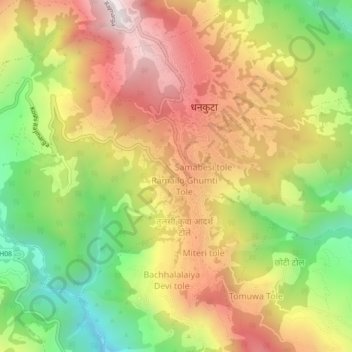
Name: Zeropoint tole topographic map, elevation, terrain.
Location: Zeropoint tole, Dhankuta, Koshi Province, Nepal (26.95468 87.32158 26.99468 87.36158)
Average elevation: 947 m
Minimum elevation: 440 m
Maximum elevation: 1,433 m