
Vorden topographic map
Interactive map
Click on the map to display elevation.
About this map
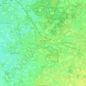
Name: Vorden topographic map, elevation, terrain.
Location: Vorden, Bronckhorst, Geldern, Niederlande (52.06437 6.26330 52.13771 6.42400)
Average elevation: 14 m
Minimum elevation: 7 m
Maximum elevation: 30 m