
Khunt topographic map
Interactive map
Click on the map to display elevation.
About this map
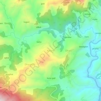
Name: Khunt topographic map, elevation, terrain.
Location: Khunt, Almora, Uttarakhand, 263643, India (29.58816 79.57595 29.62816 79.61595)
Average elevation: 1,311 m
Minimum elevation: 1,104 m
Maximum elevation: 1,705 m