
Capitol Park topographic map
Interactive map
Click on the map to display elevation.
About this map
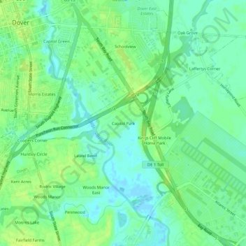
Name: Capitol Park topographic map, elevation, terrain.
Location: Capitol Park, Kent County, Delaware, 19901, USA (39.12177 -75.52285 39.16177 -75.48285)
Average elevation: 8 m
Minimum elevation: -3 m
Maximum elevation: 15 m