
Kurakunta topographic map
Interactive map
Click on the map to display elevation.
About this map
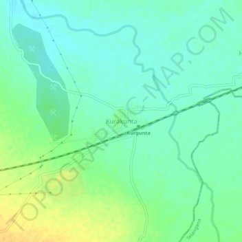
Name: Kurakunta topographic map, elevation, terrain.
Location: Kurakunta, Sedam taluku, Kalaburagi District, Karnataka, India (17.17283 77.33738 17.21283 77.37738)
Average elevation: 421 m
Minimum elevation: 411 m
Maximum elevation: 439 m
Other topographic maps
Click on a map to view its topography, its elevation and its terrain.