Geolocate

White Castle topographic map

Click on the map to display elevation.

About this map

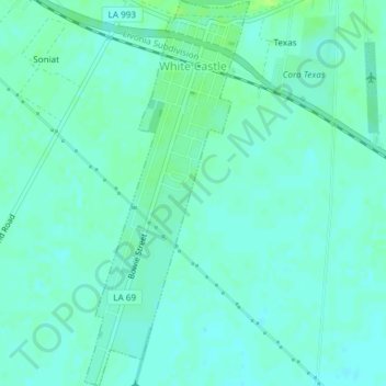
Name: White Castle topographic map, elevation, terrain.

Location: White Castle, Iberville Parish, Louisiana, United States (30.14322 -91.15752 30.17538 -91.14159)

Average elevation: 5 m

Minimum elevation: 1 m

Maximum elevation: 13 m

Other topographic maps

Click on a map to view its topography, its elevation and its terrain.

Gear up for your next adventure:

👟Heavy Duty Boot Laces - Always carry a spare for your hiking footwear
🔦Head Torches - Hands-free lighting for hiking and camping
👖Packable Overtrousers - Quick-deploy rain protection for legs in sudden storms
🚲Cycling GPS Computers - Track elevation and topographic routes on two wheels
📍Handheld GPS Navigators - Reliable satellite navigation for hiking and off-road exploration

As an Amazon Associate, this site earns from qualifying purchases at no extra cost to you.