
Münchenstein topographic map
Interactive map
Click on the map to display elevation.
About this map
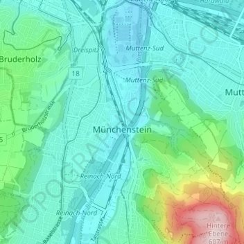
Name: Münchenstein topographic map, elevation, terrain.
Location: Münchenstein, Bezirk Arlesheim, Bâle-Campagne, Suisse (47.49928 7.59172 47.54080 7.64724)
Average elevation: 328 m
Minimum elevation: 258 m
Maximum elevation: 613 m