
Halta Dodești topographic map
Interactive map
Click on the map to display elevation.
About this map
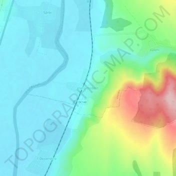
Name: Halta Dodești topographic map, elevation, terrain.
Location: Halta Dodești, Vaslui, 737577, Romania (46.35584 27.80303 46.39584 27.84303)
Average elevation: 126 m
Minimum elevation: 72 m
Maximum elevation: 285 m