
Takad topographic map
Interactive map
Click on the map to display elevation.
About this map
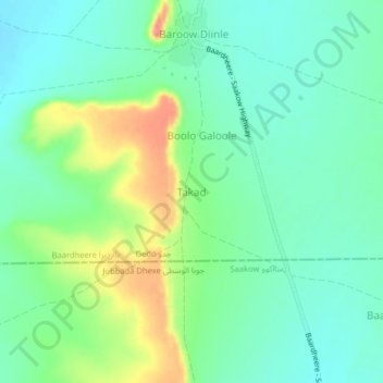
Name: Takad topographic map, elevation, terrain.
Location: Takad, Bardhere, Gedo, Jubaland جوبالاند, Somalie (1.93623 42.30332 1.97623 42.34332)
Average elevation: 105 m
Minimum elevation: 83 m
Maximum elevation: 152 m