Geolocate

Tambo topographic map

Click on the map to display elevation.

About this map
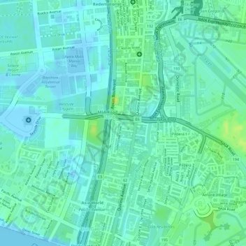
Name: Tambo topographic map, elevation, terrain.

Location: Tambo, Parañaque District 1, Parañaque, Southern Manila District, Metro Manila, Philippines (14.50812 120.97663 14.52547 121.00114)

Average elevation: 6 m

Minimum elevation: -4 m

Maximum elevation: 15 m

Other topographic maps

Click on a map to view its topography, its elevation and its terrain.

Baltao Subdivision

Philippines > Parañaque

Average elevation: 9 m

Gear up for your next adventure:

🔥Reusable Hand Warmers - Maintain dexterity in your fingers for precise map handling
📍Handheld GPS Navigators - Reliable satellite navigation for hiking and off-road exploration
🧦Hiking Socks - Breathable socks designed to prevent blisters on long walks
🚶Walking Pedometers - Simple distance tracking for casual trail walkers
🧤Waterproof Overmitts - Extreme weather protection for hikers and mountaineers

As an Amazon Associate, this site earns from qualifying purchases at no extra cost to you.