
Taman (RTH) topographic map
Interactive map
Click on the map to display elevation.
About this map
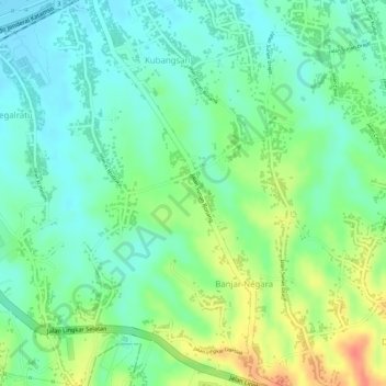
Name: Taman (RTH) topographic map, elevation, terrain.
Location: Taman (RTH), Cilegon, Banten, Indonesia (-6.02677 105.99075 -6.02580 105.99178)
Average elevation: 24 m
Minimum elevation: 2 m
Maximum elevation: 59 m
Other topographic maps
Click on a map to view its topography, its elevation and its terrain.