
Busua topographic map
Interactive map
Click on the map to display elevation.
About this map
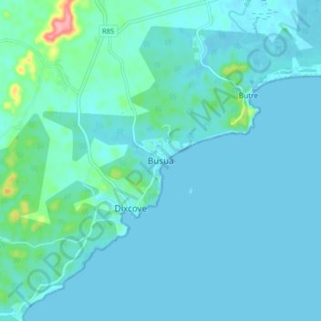
Name: Busua topographic map, elevation, terrain.
Location: Busua, Ahanta West Municipal District, Western Region, Ghana (4.76666 -1.97888 4.84666 -1.89888)
Average elevation: 13 m
Minimum elevation: -1 m
Maximum elevation: 120 m