
Boia topographic map
Interactive map
Click on the map to display elevation.
About this map
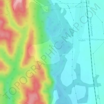
Name: Boia topographic map, elevation, terrain.
Location: Boia, Jupânești, Gorj, 217271, Roménia (44.92031 23.49404 44.92570 23.50307)
Average elevation: 225 m
Minimum elevation: 178 m
Maximum elevation: 328 m