
Pueblo San Sebastián Tecoloxtitlan topographic map
Interactive map
Click on the map to display elevation.
About this map
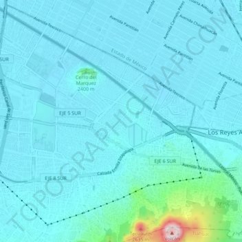
Name: Pueblo San Sebastián Tecoloxtitlan topographic map, elevation, terrain.
Average elevation: 2,266 m
Minimum elevation: 2,222 m
Maximum elevation: 2,740 m