
Verri topographic map
Interactive map
Click on the map to display elevation.
About this map
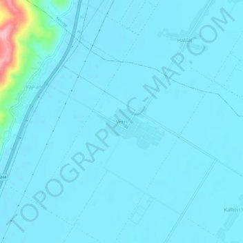
Name: Verri topographic map, elevation, terrain.
Location: Verri, Fier, Fier County, Southern Albania, 9016, Albania (40.76942 19.60092 40.80942 19.64092)
Average elevation: 16 m
Minimum elevation: 5 m
Maximum elevation: 169 m