
Katabu topographic map
Interactive map
Click on the map to display elevation.
About this map
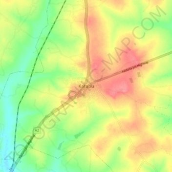
Name: Katabu topographic map, elevation, terrain.
Location: Katabu, Kwarau, Igabi, Kaduna State, Nigeria (10.65480 7.47156 10.73480 7.55156)
Average elevation: 638 m
Minimum elevation: 600 m
Maximum elevation: 675 m