
Kabanga topographic map
Interactive map
Click on the map to display elevation.
About this map
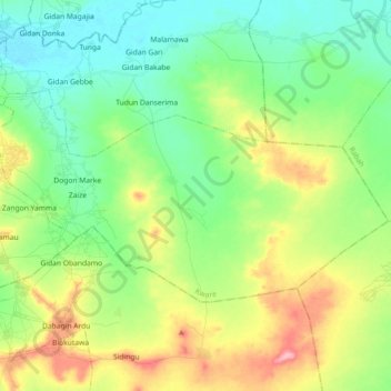
Name: Kabanga topographic map, elevation, terrain.
Location: Kabanga, Kware, Sokoto State, Nigeria (12.96412 5.35438 13.05983 5.53511)
Average elevation: 290 m
Minimum elevation: 251 m
Maximum elevation: 367 m
Other topographic maps
Click on a map to view its topography, its elevation and its terrain.