
Louise Lake topographic map
Interactive map
Click on the map to display elevation.
About this map
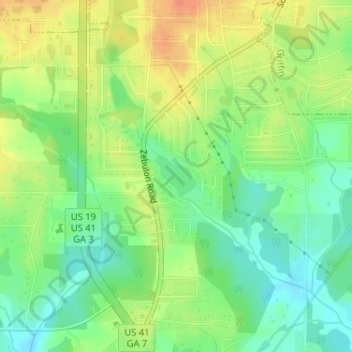
Name: Louise Lake topographic map, elevation, terrain.
Location: Louise Lake, Spalding County, Georgia, United States (33.20703 -84.28211 33.21028 -84.27826)
Average elevation: 269 m
Minimum elevation: 248 m
Maximum elevation: 292 m
Other topographic maps
Click on a map to view its topography, its elevation and its terrain.